Visiting Prestonpans Battlefield
Visiting Prestonpans Battlefield can be highly rewarding. Despite the interventions of later developments, large parts of the battlefield have survived and there are landmarks, monuments and interpretation points to help us relate the landscape of today with that of 1745.
There are also a number of associated heritage attractions which can further enhance your visit.
You can find an overview of the main sites on our Places to Visit page.
To explore the battlefield, we recommend that you start at the Viewpoint beside Meadowmill Sports Centre (EH33 1LZ) if you are arriving by car. There are both road and foot signs to help you once you get close.
If you are arriving by train, alight at Prestonpans Railway Station and descend the steps from the south platform onto Johnnie Cope’s Road. Then follow the signed footpath which joins the Bankton end of the battlefield trail.
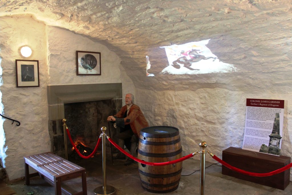
Don’t forget to visit THE BATTLE OF PRESTONPANS JACOBITE MUSEUM on Prestonpans High Street to complete your experience.
Explore using our free mobile App
Download the free mobile App to help you explore the main locations around the battlefield. Featuring additional information, media and links, as well as a GPS navigational aide to guide you around, the app is completely free to download and use. There are download codes at various locations around the battlefield for those with a QR scanner, or you can click the image below to download it now.
The app also includes all the panels of the Prestonpans Tapestry, and a guide to the 1722 Waggonway as well!